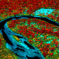
By accurately fusing several data streams from different remote sensing sources, MacArthur-grantee the Carnegie Airborne Observatory is able to create multi-dimensional maps of ecological systems. This technology allows scientists to study, explore, and conserve ecosystems at large geographic scales. The Carnegie Airborne Observatory’s remote sensing work aims to conserve tropical forests by detecting their relative vulnerability and resilience to climate change, among other applications. Learn more about the Observatory’s remote sensing system or read/request a copy of their scientific report on the technology.