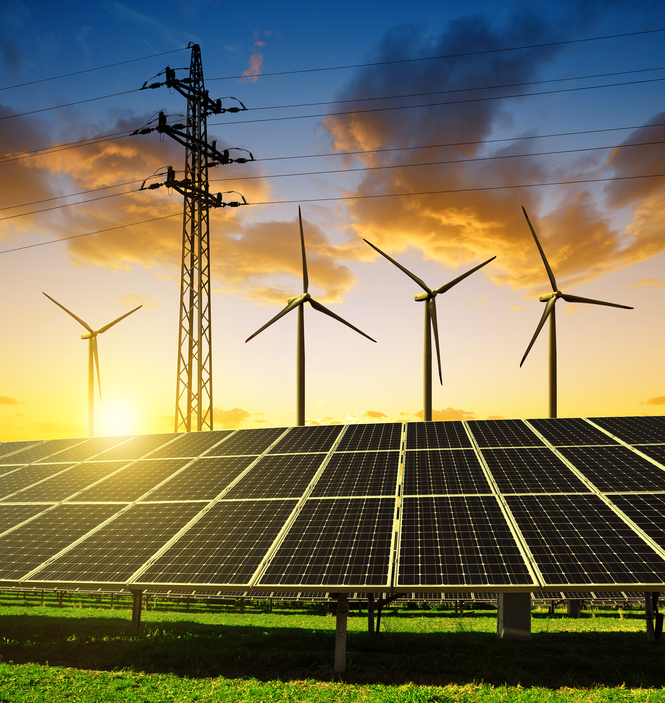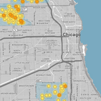
A collaboration between Google Earth Outreach and the MacArthur-supported Environmental Defense Fund uses a new approach to map methane leaks from natural gas pipes to pinpoint the most troublesome areas of climate pollution. Sensors attached to Google Street View cars help create detailed maps of places where methane is leaking from utility pipes under city streets. Methane, a primary component of natural gas, absorbs the sun’s heat and contributes to global warming. So far, the research has helped build interactive maps showing that cities with newer gas pipes like Indianapolis have few leaks while cities with older pipes like Boston, Chicago, and Los Angeles have more.