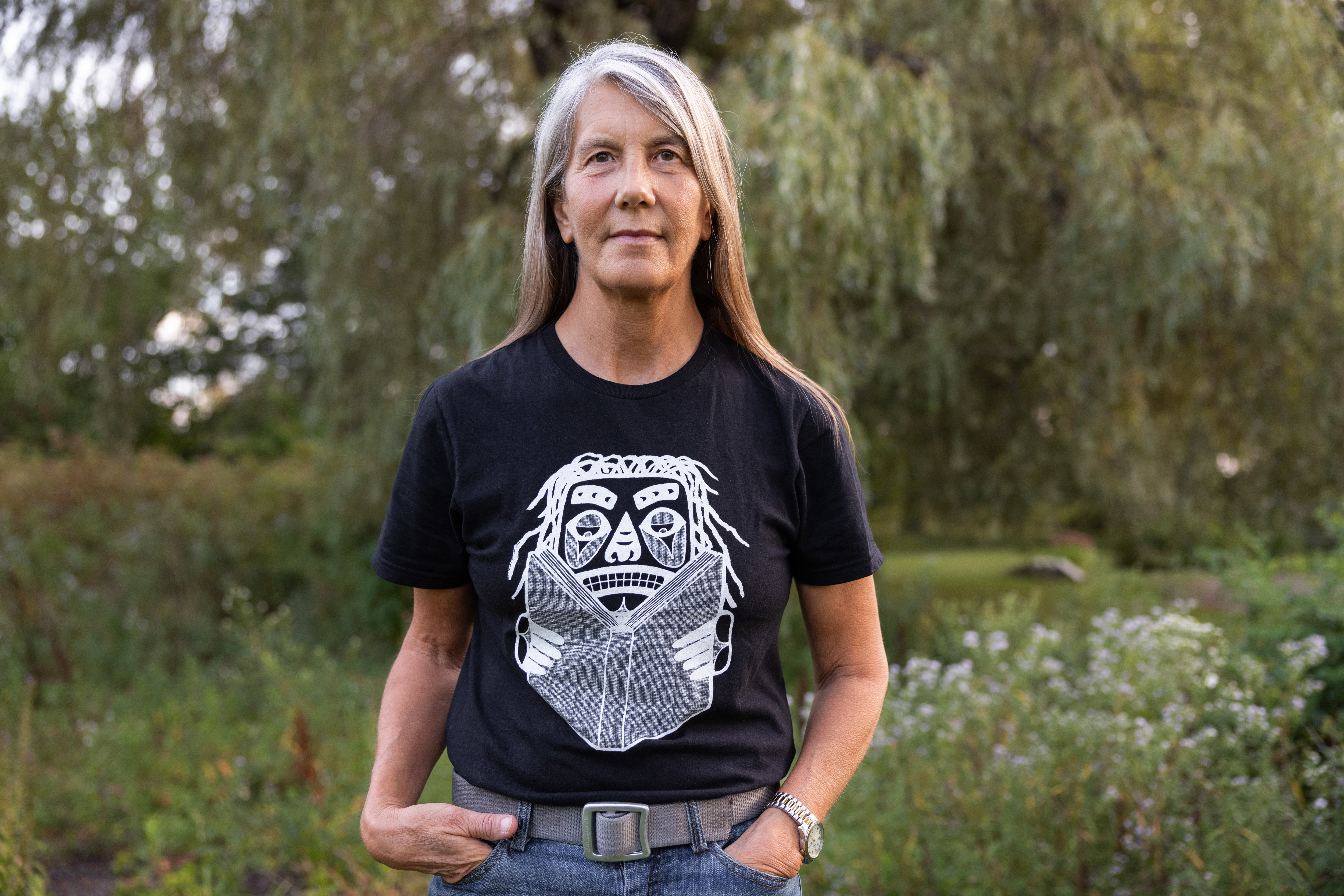
About Margaret's Work
Margaret Wickens Pearce is a cartographer creating maps that foreground Indigenous Peoples’ understanding of land and place. Pearce pushes the boundaries of cartography beyond two-dimensional depictions of static and defined spaces. She draws on a wide range of archival materials and long-term collaborations with Indigenous communities to resurface their history, knowledge, and presence throughout North America.
Much of Pearce’s early work revisualizes past landscapes and how Indigenous People lived in relationship to the land. Her co-authored map, They Would Not Take Me There (2008), documents the Native geographies and communities Samuel de Champlain interacted with as he explored what is now Canada. The map includes Native place names, excerpts from Champlain’s journal, and imagined dialogue from First Nations People. More recently, Pearce has undertaken several projects that use the language of cartography to make visible Indigenous claims and ties to North America. Coming Home to Indigenous Place Names in Canada (2017) shows the traditional place names and sovereignties of Indigenous and First Nations Peoples across Canada. Pearce worked with hundreds of communities to determine their names for places and request permission for using the names in the project. For a 2020 investigative report entitled “Land-Grab Universities,” she designed a series of maps that powerfully illustrate the ongoing legacy of stolen tribal lands. The U.S. government funded endowments for over 50 colleges and universities with sales of nearly 11 million acres of land taken from tribal nations. These endowments continue to fund the institutions today. Pearce tells more intimate stories of dispossession in maps designed for Native Truths: Our Voices, Our Stories, a permanent exhibition at the Field Museum in Chicago. Pearce worked with culture bearers from Winnebago Tribe of Nebraska, Hoocąk Nation, and Miami Tribe of Oklahoma to chronicle their peoples’ experiences of forced removal and the violent loss of connection to their homelands. Currently, Pearce is working on Mississippi Dialogues, a public art project that will draw on extended collaborations with tribal nations whose homelands include the Mississippi River and its floodplain. The maps that emerge will reimagine the Mississippi River through Indigenous practices of environmental stewardship.
Pearce’s cartographic practice reflects Indigenous worldviews and modes of knowledge-making, in particular deep collaborations with others and inclusion of many voices. In making Indigenous historical, environmental, and political narratives visible in the North American landscape, Pearce supports Indigenous communities’ efforts to reassert sovereignty over traditional lands, resources, and practices.